
The Survey
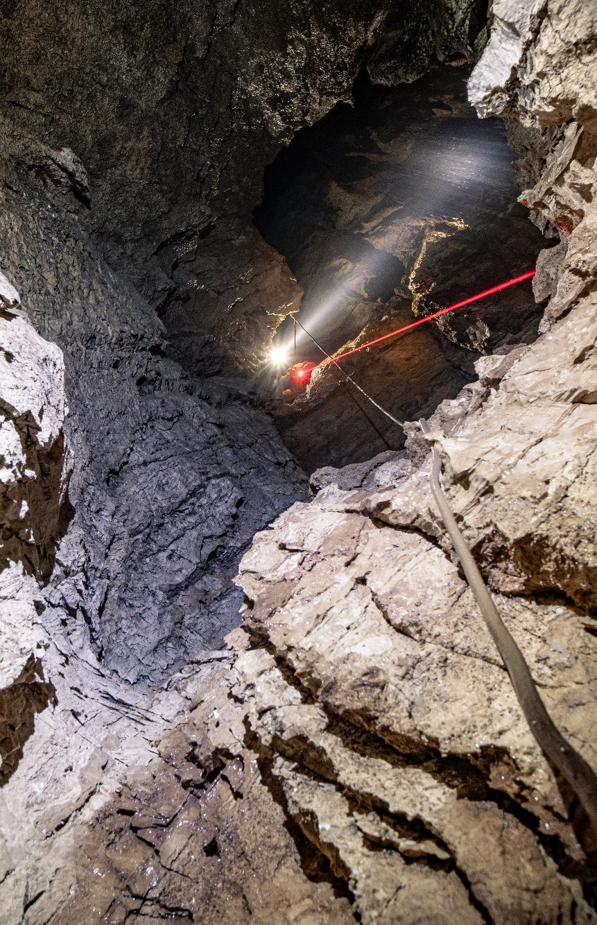
After exploration, the passage is mapped with a modified laser range finder, also measuring compass-angle and inclination.
The Maps
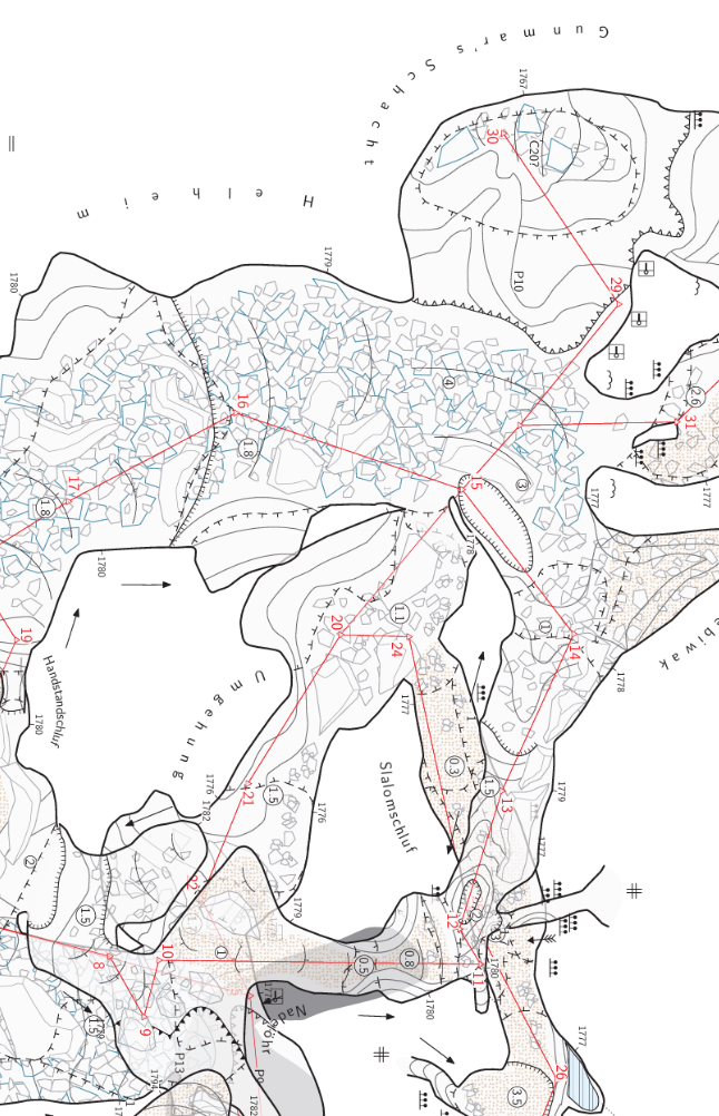
The Maps are drawn manually on Tablet or Smartphone while in the cave to cover all details. Later a clean version is assembled at home.